 |
| Steins Pass |
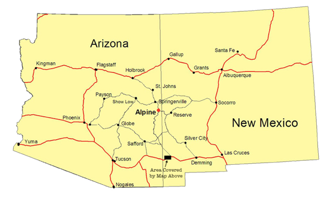
I'm standing a few miles east of the Arizona-New Mexico border in a narrow defile through the Peloncillo ("Little Baldy") Mountains, which rise in stark, treeless grandeur above a land shaped by wind and rain over more years than humans have roamed the planet. To my north the mountains rise vertically like the wall of a prison. Beneath them Union Pacific's transcontinental route west to Los Angeles and east to Houston and Dallas climbs a grade in both directions that brings even the fastest trains to a crawl.
Interstate 10 is only a hundred yards or so south of me, and between the highway and tracks sits the ghost town of Steins, New Mexico (pronounced Steens), named after United States Army Major Enoch Steins, who camped here in 1856 while exploring the recently acquired Gadsden Purchase.
Although these mountains produced several mining camps in the late 19th century, after deposits of gold, silver, lead and copper were discovered, Steins was always a railroad town. In 1878, the Southern Pacific opened a quarry here, using the rock for ballast on roadbed and track being constructed from the west across Arizona. In those days, railroad construction was like a line of ants moving steadily in the direction of food, a living writhing mass seemingly without purpose yet progressing relentlessly toward a goal seemingly out of reach to all save the wildest dreamers. During construction, more than 1,000 Chinese laborers lived at the base of the mountains.
By 1880, the railroad had reached Steins Pass and a station was constructed at what would become a small settlement. If you have not been to this country, you will be startled by its barrenness, by what appears to be its total inhospitableness to all forms of life. There is no water here, save for some deep underground pools too alkaline to drink. East across the pass is a fantastic dry lake bed that looks like photographs of the moon. For years the area was dotted with a few cabins and tents, nothing more. A post office was established in 1888 to serve the railroad. Whoever sorted the mail must have had plenty of time on his hands.
 |
| Eastbound autos nearing the summit of Steins Pass. |
 |
| Westbound stacks have crested the summit and are approaching the Arizona border. |
 |
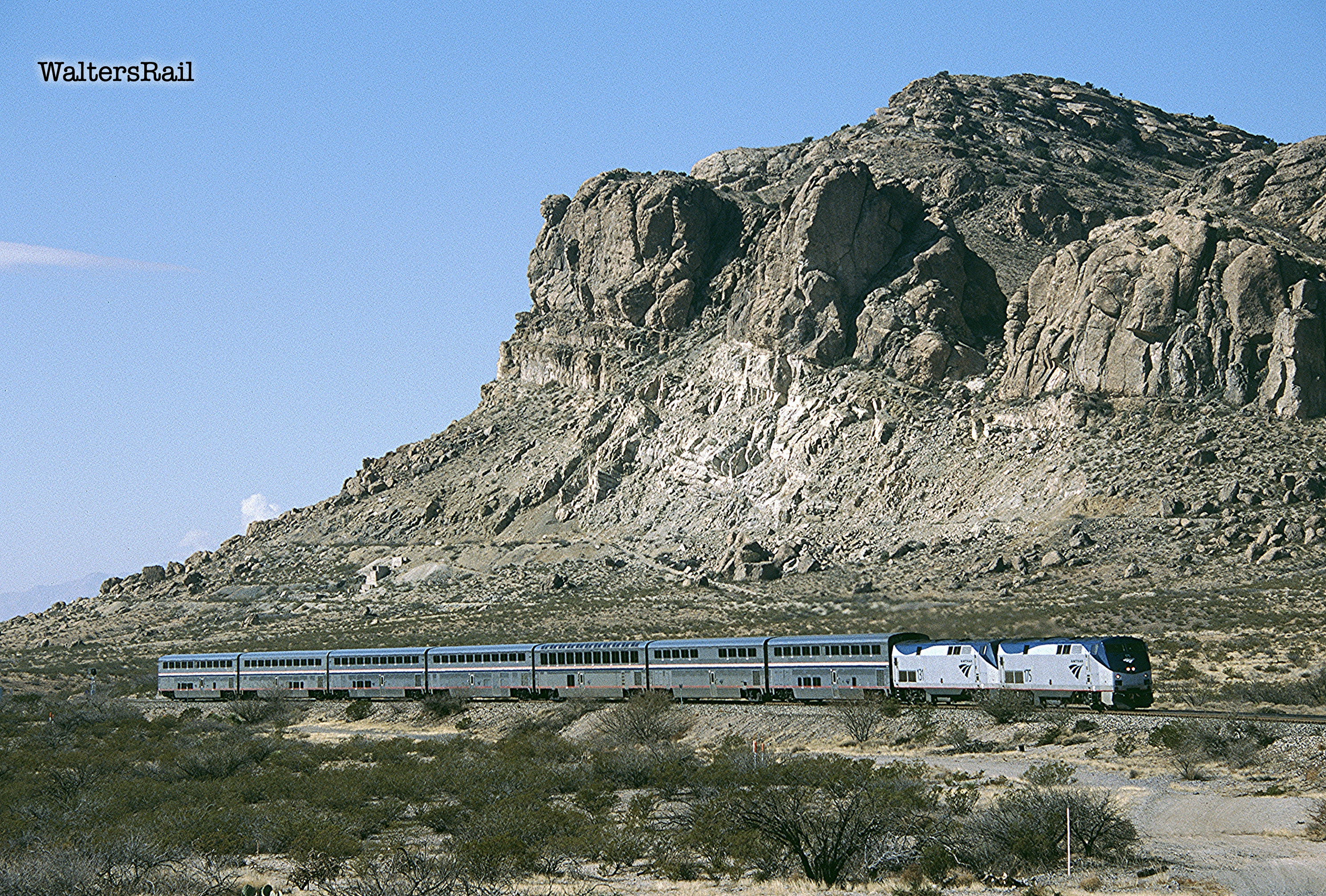
| Eastbound Amtrak No. 2 at the summit with 50th anniversary unit on the point. |
But Steins was like a slow growing desert plant. In 1902, it supported a small school and 35 residents. Two years later the SP built a new station, with the post office soon following. By 1905, 100 people called this place home; the population quickly swelled to 200, with most residents working in nearby mines or the SP rock quarry.
By 1920, almost 1000 people lived in Steins. There were a boarding house, two bordellos, two saloons, retail stores and a small hotel. The only well water was too alkaline to drink, so the Southern Pacific brought water in by train and sold it for prices higher than oil.
But some desert plants do not live for centuries. Southern Pacific terminated the rock quarry in 1925. At the end of the Second World War, the railroad closed the passenger station, ceased water deliveries and offered the remaining citizens free passage to a new life. Almost everyone accepted. The post office closed in 1944. In 1964, a fire destroyed several of the abandoned buildings.
 |
| Eastbound where a portion of Steins once stood. |
 |
| Westbound chased by the morning sun. |
 |
| Eastbound fleeing the evening sun. |
In the 1970's, a family named Garrison purchased what was left of Steins (your author is not certain from whom the purchase was made), and the son Warren undertook to refurbish the few remaining buildings, with an eye to opening a tourist attraction beside the Interstate. Garrison later wrote:
I remember the very first morning I stayed there, a man came up and sat down in the window. “Good morning; how you doing?” and I was just waking up. “So what’s going on, what are you doing here?”
I said, “Well, I’ve always wanted to do something here and I guess this is it.”
He kind of laughed and gave me five dollars and said he’d check on me again someday when he passed through again and left. That was the first bit of encouragement that I got from anyone.
During that first night a rattler had crawled into the room and my little dog Spooky had barked and tipped me off, kinda scary but I got up and I do remember having a flashlight so I got it and put it in a big barrel that was there at Steins.
[See https://www.legendsofamerica.com/nm-steins/.]
Garrison did transform Steins into a very modest tourist attraction -- a few 19th century buildings that might have been constructed for the set of a not very good cowboy movie. In 1988, he sold to a couple named Link, who continued to run the operation until 2008.
Today (December 2022), the few remaining buildings are fenced off from the public. A small house on the west side of what used to be the village appears to be occupied, as does a trailer on the east side. All other traces of civilization have vanished.

 |
| CSX 3054 far from home. |
 |
| Eastbound has just crossed into New Mexico. |
 |
| Eastbound No. 2. |
 |
| Eastbound stacks at same location. |
The Butterfield Overland Mail did not run through Stein's Pass, instead navigating through the mountains at Doubtful Canyon, about four miles to the north. New Mexico Highway A015 follows part of the old stage route today. The railroad chose Steins Pass because of a shallower grade that tops out at 4365 feet. The Doubtful Canyon summit is 4501 feet. The approach is more severe but had been used by Native Americans for centuries and was the location of a reliable fresh water spring, which is why the stage chose it.

 |
| Eastbound Amtrak No. 2. |
 |
| Westbound crossing Summit Road. |
 |
| Eastbound autos. |
 |
| Westbound manifest. |
Doubtful Canyon was the site of a small battle in 1864 between an infantry company from California and a band of Apaches. The Californians were moving from Fort Cummings, New Mexico (about 20 miles north of Deming) to Fort Bowie in the Dos Cabezas Mountains of southeastern Arizona (near the site of the so-called "Bascom Affair," in which the Army attempted unsuccessfully to take Cochise prisoner as barter for the return of an American hostage). The soldiers were following the southern route of the Butterfield Overland Mail, which had been discontinued three years earlier because of hostilities between North and South.
Led by Lieutenant Henry Stevens of Company I, 5th California Volunteer Infantry Regiment, the Americans were attacked in one of the more isolated regions of the canyon, which is saying a lot, since the entire route through New Mexico and Arizona is as barren and forlorn as anywhere in North America, with the possible exception of Chicago.
Your author has driven his Jeep into portions of the canyon, and the experience is as eerie and disorienting as awakening in a strange room. There is no sound, nothing. The air is motionless. Rock parapets rise to the north and south like walls of a gigantic abandoned aqueduct. You can see why Apaches would choose this isolated and desolate place to attack, hiding behind boulders larger than railroad cars.
And attack they did, about 100 warriors against 54 soldiers. The fighting lasted for perhaps an hour, desperate fighting, the sort that characterized the Apache Wars of that period, in which men fought not to preserve territory or livestock but rather to preserve their lives, nothing more. In about an hour, both sides lost several men, and nothing was resolved. The Apaches disappeared back into the rocks to bury their dead, while the soldiers continued west toward Arizona to do likewise.
 |
| Eastbound stacks are climbing the long grade on the west side of the pass. |
 |
| Another eastbound on the climb. |
 |
| One more. |
Four stage stations were located in the territory of the Chiricahua Apache. The Doubtful Canyon station was on the eastern edge. About 18 miles west was San Simon (pronounced "see-moan"). Another 15 miles to the southwest stood the Apache Pass station in a narrow crevice between the Dos Cabezas and Chiricahua Mountains. The fourth station was 40 miles further west at Dragoon Springs. Each was like a small fort, surrounded by rock walls, with a reliable water supply.
The stations were subjected to repeated Apache attacks, often led by Cochise in retaliation for the killing of his brother and two other warriors in the "Bascom Affair." [To see a full discussion of that event, see https://www.waltersrail.com/2022/11/east-of-dragoon.html.]
 |
| Westbound stacks approach the summit. |
 |
| Stack trains meeting at Steins Pass. |
In April 1861, Cochise ambushed a stage coach carrying five passengers, traveling through Doubtful Canyon near Tsisl-Inoi-bi-yi-tu (Rock White in Water), called Stein's Peak by the Americans. The group left what is now Lordsburg, New Mexico, in the early morning. Late that day, two badly bruised and clearly traumatized mules returned. Seventeen soldiers then set out and discovered near Stein's Peak scattered letters and newspapers, plus pieces of harnesses. The stage coach was resting in a ditch beside the trail. The bodies of two men were tied upside-down to trees, arms extended and fastened by ropes to stakes, with ashes and still-glowing coals beneath their charred heads, which almost touched the fire. The burned bodies had been repeatedly pierced with lances and were unrecognizable.
This was the sort of savagery that punctuated the Apache Wars, the sort of savagery that elicited calls for the annihilation of Cochise and his Apache bands. But one should remember that both sides in the Apache Wars were brutal. The Americans had, after all, hung Cochise's brother from the boughs of an oak tree.
 |
| Amtrak No. 2. |
 |
| An eastbound manifest has crossed Steins Pass and is approaching Lordsburg, New Mexico. |
 |
| Westbound stacks approaching Arizona. |
On March 22, 1864, the Apaches stole 72 mules from Camp Mimbres, about 35 miles north of Deming. Captain James Whitlock waited a few days before pursuing, hoping that the raiders would let their guard down. On March 27, he led 72 soldiers west toward Doubtful Canyon, detouring north to the Gila River, then turning south into the Graham Mountains, where the Apaches were caught unprepared. The soldiers killed 21 and destroyed homes, horses and livestock.
About 30 days later, Cochise retaliated with almost 200 warriors who, hiding in the boulders of Doubtful Canyon, ambushed a detachment of 60 men commanded by Lieutenant Henry Stevens. As the sun rose, the Apaches launched their attack with war cries from both of the steep canyon walls. Lacking guns, the Apaches poured hundreds of arrows into the narrow defile.
Stevens' horse was killed, but he nonetheless rallied his men, and the soldiers, firing at will, drove the Apaches to higher ground. Several lay dead in the canyon. The soldiers lost one man. Another suffered a broken arm. Three more were slightly wounded.
 |
| Westbound Amtrak No. 1. |
 |
| UP 8187 West (ES44AC) approaches the summit at Steins Pass. |
 |
| Eastbound at summit. The third unit is CP Heritage 8757 (another ES44AC). |
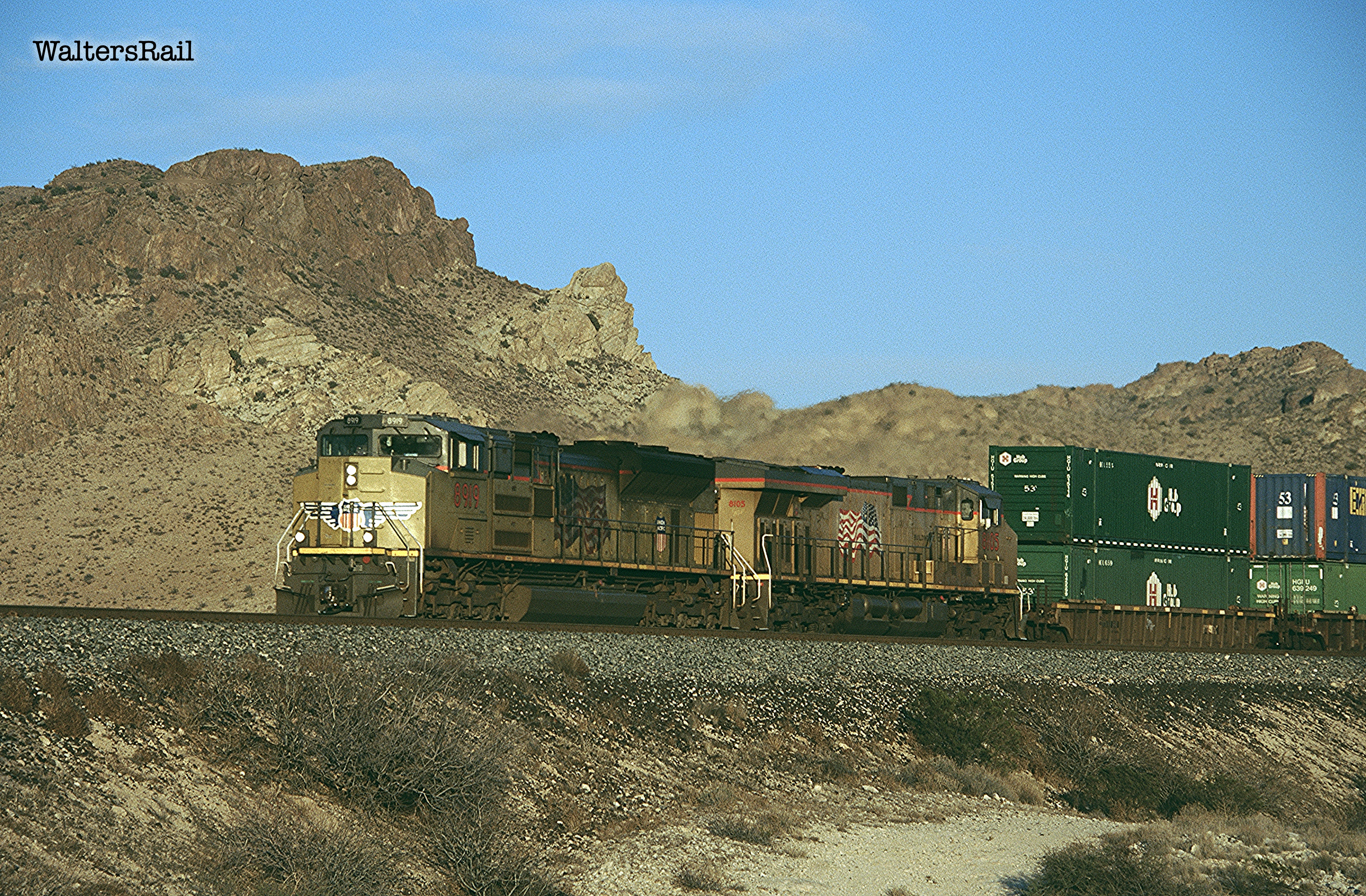
I want to discuss the route of the railroad from the west to the summit at Steins Pass. From the west, the tracks climb out of Wilcox Playa, a dry, salt-encrusted lake bed, then turn east around the northern end of the Dos Cabezas Mountains and mount a mild summit at what was originally Railroad Pass and is now called Raso, then continue on to Bowie, Arizona, about five miles west of which the tracks run in an almost straight and flat line southeast for 30 miles.
Bowie takes its name from Fort Bowie, established at Apache Pass in the late 19th century to protect travelers following the old trail across the mountains, providing water and grass not found in the desert below. Bowie is also the junction with the Arizona Eastern Railway, which connects to copper mines at Globe. The Arizona Eastern enjoys trackage rights over the Union Pacific to Lordsburg, New Mexico, where a second short line runs to the mine at Clifton.
Union Pacific's tangent tracks end at the old Butterfield station of San Simon, the beginning of a former helper district on a 15 mile climb to the summit at Steins Pass. The ruling grade of 1.49 percent is the most severe on the line between Yuma and El Paso. Although the area no longer requires helpers, trains coming from the west struggle mightily into this grade.
 |
| Arizona Eastern 4012 East (B-Boat B40-8) approaches the summit of Steins Pass on trackage rights to Lordsburg. |
 |
| Same set of power returning west the next day. |
 |
| Climbing the 1.49 percent eastbound grade. |
 |
| In full dynamics down the same grade. |
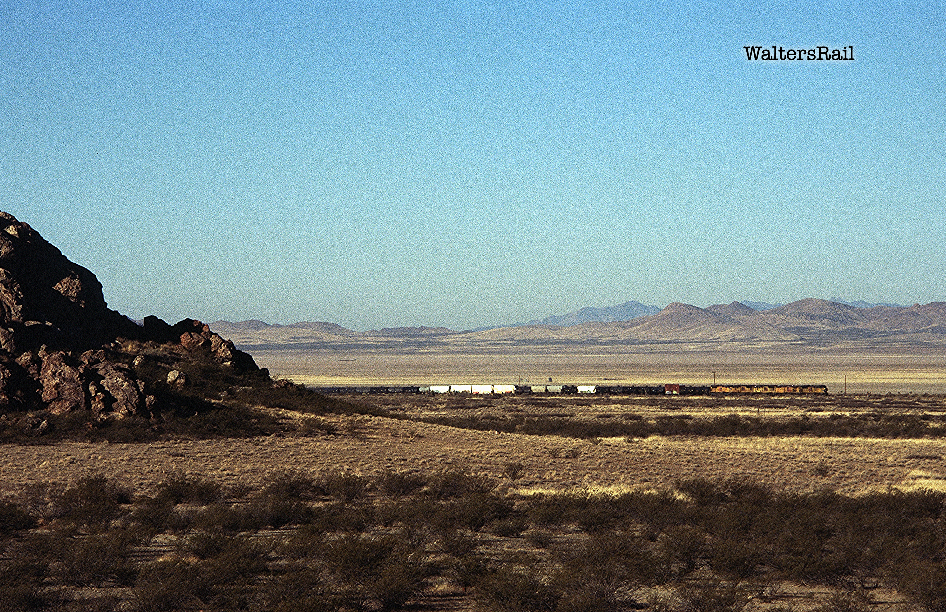
From the summit east, the tracks turn northeast and begin a quick descent of about three miles into the broad, salt-encrusted, mid-section of the Animas Valley, once covered with water, now dry and desolate. If you have driven across the Great Salt Desert, this place has a similar feel, perhaps not as salty, but once a certain level of saltiness has been reached, anything above is overkill.
To the north and south are irrigated farmland, but the salt here has denuded all vegetation except occasional patches of desert salt grass. Interstate 10 runs beside the tracks, and signs along the highway warn of dust storms, which can appear as unexpectedly as thunderclaps. In about twelve miles the tracks turn southeast, bending around the northern edge of a series of hills to Lordsburg, where they enter a broad and flat land all the way to Deming. The Western Continental Divide is crossed here, but you would not notice it save for the sign on Interstate 10.
Viewed from one side of the valley, trains on the other are inconsequential; if you are not actively looking for a train, you will not notice it until it is almost upon you, as though the valley itself has disgorged this long chain of rolling metal. At dawn when the wind is down, you can hear the train approaching across the flat basin, and you look for it and think you can see it, but then you blink in the dry air, and whatever you thought you saw has disappeared, only to reappear and disappear and reappear again like the sun behind moving clouds.
 |
| An eastbound manifest crosses the Animas Valley. Steins Pass is in the right-center background. In the far background rise the Chiricahua Mountains of Arizona. |
 |
| Another eastbound crossing the salt flats. |
 |
| A westbound has left the Animas Valley and is climbing the short eastern grade to the summit. |
 |
| The Animas Valley. |
The legal maneuvering preceding construction of this line was, to put it mildly, arcane. To understand how the Southern Pacific was built, one must turn to the Federal Constitution, which grants Congress the power to "regulate commerce . . . among the several states." Beginning in 1937, the Supreme Court issued a line of cases holding that this "Commerce Clause" prohibits individual states from enacting laws that interfere with the free flow of goods and services in interstate commerce. Since then, the Court has broadly interpreted the scope of Congressional power. For example, in passing the Civil Rights Act of 1964, Congress relied on the Commerce Clause to prohibit racial segregation and discrimination in places of public accommodation involved in interstate commerce. In its unanimous (9–0) decision upholding the law, the Supreme Court stated: "[T]he power of Congress to promote interstate commerce also includes the power to regulate the local incidents thereof." [Emphasis added.]
In the 19th century, however, those cases did not exist, and state and territorial laws regulating railroads were as twisted, jumbled and thorny as the woods behind your author's house. Different states placed different limits on the length of trains. Different states required different numbers of crewmen. Some states prohibited the transport of certain goods or animals (certain cattle breeds, for example) that others allowed. And on and on. The result was that trains often had to stop and reassemble before passing from one state to another.
Likewise, many states and territories required that railroads be incorporated therein before construction could begin. Thus, the Southern Pacific was originally incorporated in California. When it reached Arizona, it formed an Arizona Corporation. And the same for New Mexico. The Southern Pacific Railroad Company of New Mexico was incorporated April 14, 1879, and construction across Steins Pass commenced immediately and proceeded east with remarkable speed. The tracks reached Lordsburg October 18, 1880, and Deming December 15 of the same year. When the special train carrying Charles Crocker and other big shots arrived in El Paso May 26, 1881, a 16 gun salute commenced the celebration for the arrival of the town's first railroad.
But the El Paso connection was not the most important to the SP. On March 7, 1881, the Santa Fe entered Deming, New Mexico, and a golden spike was driven the next day to commemorate completion of the second transcontinental railroad. Today, almost no one realizes that this SP-Santa Fe combination was the second transcontinental line. Indeed, today, the tracks from Rincon to Deming (60 miles) are not even operated by Santa Fe's successor BNSF. Instead, this short segment is run by the Southwestern Railroad, though your author understands that BNSF still maintains trackage rights.
 |
| Westbound stacks have left Lordsburg and are turning southwest toward the Animas Valley. |
 |
| An eastbound grainer is leaving the Animas Valley and turning southeast to Lordsburg. |
 |
| Animas Valley. Camera is looking northwest, with Peloncillo Mountains in background. |
 |
| Last sunlight illuminates an eastbound approaching Lordsburg. |
Lordsburg, New Mexico, has changed with the railroad over the years -- and not for the better. The original village still parallels the tracks, three blocks of late 19th century buildings, part Victorian, part American West, mostly empty now, abandoned, in various states of disrepair. The main street along the tracks is called Motel Drive, but when your author drove through one night, only one such institution was open for business, a dingy dirty place where you would stop only if you were broke and for psychological reasons could not sleep in your vehicle. Every other building was dark, including three abandoned motels, save for one small storefront in which a single unshaded bulb hung down from a long chord, illuminating a barren room. The windows were dust-streaked, making the light look brown.
What is left of the town now parallels I-10, a few miles south of the tracks, which like all east-west interstates sees a constant flow of heavy trucks both day and night. Driving the interstate in the Year of our Lord 2022 in anything that does not have 18 wheels is an exercise in self-immolation. Plus, because of the constant road noise, sleeping in one of the motels that line the concrete freeway requires the ability to become completely unaware of one's surroundings, an idiot savant without the savant.
Lordsburg is the perfect illustration that local commerce has moved from the railroad to the interstate. Your author does not regret or bemoan this. Change is inevitable. But the short period from tracks to trucks has not given places like Lordsburg time to adjust; the town along the tracks is as forlorn and lost as an old blind dog.
Your author and Bear the Mighty Dog spent a week in Lordsburg in January 2022. There were only two restaurants in town -- one along the interstate, catering to truckers; the other a family restaurant patronized by local citizens. I tried both and preferred the local establishment, party because the food was better, but mostly because the clientele were not the sort one normally sees along the main highways of this huge country.
I ate beef enchiladas (with refried beans and rice) every night because I like to do the same things over and over. One evening a family walked in and sat at the table next to me. The father appeared to be of northern European stock, blonde-headed with piercing blue eyes. But his skin was rough, like everything in the desert.
His wife looked to be Native American, with black hair and dark severe eyes. Their three children were an endearing mix. One had blonde hair, one black, and the third a medium brown like the mountains at Steins Pass.
When the waitress came to take their order, I heard the husband say that this was their monthly trip into town.
I tell the story only to point out that our country is filled with people that I know nothing about. As I travel, I see more and more of them and realize that my own life is as sheltered as a poodle's.
To see my other posts, go to waltersrail.com.
To see my photographs on Flickr, go to https://www.flickr.com/photos/jpwalters/.
Thank you for the information, I have driven past Steins Pass many times and this information helps fill in the history.
ReplyDelete