 |
| Westbound BNSF stacks and trailers roll through the loop at Trinidad Hill. |
At Trinidad Hill in central Washington, the old Great Northern mainline, now the province of BNSF, climbs eastward out of the Columbia River Gorge to a plateau that sits above the water like the icing on a multi-layered cake. One's first glimpse of this terrain produces both wonder and curiosity. How was such a marvelously distinctive landscape created? Where did it come from?
Answering these questions requires analysis of two monumental events -- some might say almost Biblical -- that are difficult to believe even though the evidence for them is overwhelming -- as overwhelming as the evidence supporting Einstein's Special Theory of Relativity (which is also difficult to believe).
When you stand on top of the Trinidad Hill tunnel and peer northwest into the Columbia River Gorge, you are looking back into time, just as when you look up at the stars at night. Some of the light reaching your eyes through the darkness originated millions of years ago. For all those eons, photons have travelled as silently as ashes across the void finally to interact with your retinas. Likewise, the Columbia River Flood Basalts that you see from atop the tunnel are approximately 5,000,000 - 15,000,000 years old -- long before humans appeared on this mortal coil and began trying to figure out how the earth came to its present form. The Columbia River Flood Basalt Province stretches over 100,000 square miles between the Cascade and Rocky Mountains in the Pacific Northwest -- portions of Idaho, Washington and Oregon. At some locations, the lava from ancient volcanoes is about 15,000 feet deep -- taller than the highest mountain in Colorado, about three times the average depth of an oil or gas well. About 85% of the province is made of the Grande Ronde Basalt with enough lava to bury the entire continental United States 40 feet deep. Lava flows from massive eruptions were so extreme that they reached the Pacific Ocean from their fissure vents over 100 miles away. The Pomona flow traveled from west-central Idaho to the Pacific (375 miles), the longest known lava flow on Earth.
Lava welled up through fissures in the earth's crust -- in some cases a few yards wide but many miles long. Eruptions typically lasted several days to a few weeks, and the outlfows were layered 50-100 feet deep. Floods moved anywhere from one-half to about three miles per hour.
There may have been 300 or more individual outbreaks. Each lava flood was separated by thousands of years. Lava would boil out of the ground like syrup, moving thickly like syrup until the flow would stop. Then the fissures just sat there, quiet and patient, like a mule, subject to wind and rain, freezing and thawing, erosive year after erosive year, waiting. Then came the next eruption, and the next, and the next. The immense weight of all this basalt caused the Earth’s outer crust to depress and form the shallow basin that dominates the topography of eastern Washington. And fifteen million years later, you have something like the Columbia River Gorge.
 |
| USGS Map of Columbia River Flood Basalt Province |
I am struggling with the idea of the earth's surface being buried under 15,000 feet of anything. Simple words do not do justice to such a cataclysm. (I know that "cataclysm" is Latinate, not simple, but "cataclysm" does not do justice, either.). The Mount Vesuvius eruption of 79 AD, destroying Pompeii, Herculaneum, Oplontis and Stabiae, deposited about 50-100 yards of detritus -- less than half of one percent of that deposited in the deepest Columbia River Basalt Floods.
Imagine standing on the beach at Padre Island and watching as manna from heaven falls from the sky. As the manna falls, you are even more miraculously transported skyward on top of it. The manna keeps falling and falling, month after month, year after year, century after century, while you do not age. When it finally stops, you are now standing over 15,000 feet higher than when it started. You are now standing almost four times as high as Mount Vesuvius.
 |
| Eastbound BNSF stacks in the Columbia River Gorge, preparing to climb Trinidad Hill. |
During the thousands of years between eruptions, soil would develop through erosion -- wind and rain, basalt detritus accumulating in valleys, more wind and rain, ice freezing then thawing, detritus thickening, accumulating, thickening. Grasslands and forests began to grow in the residue. Animals appeared. The next basalt cycle would kill everything but preserve a fossil record. During the Miocene, the Columbia River Basin was home to rhinoceroses, huge turtles, three-toed horses, deer, bear, camels and elephants. The early Pliocene saw raccoons, badgers and coyotes.Most of the flows occurred 12-15 million years ago. Smaller amounts were deposited in the past 5-10 million years. How were those dates determined?
The dates are the product of measuring the decay of an isotope of potassium into an isotope of argon, a process that seems almost magical to one, like your author, not trained in radiochemistry. Molten basalt contains potassium, some of which (40K) is radioactively unstable and decays into argon (40Ar) after the basalt cools and hardens (recrystallization). By measuring the amount of 40K and 40Ar in the rock, and calculating rate of radioactive decay from one isotope to the other, one can determine how much time has passed since cooling.
The measurement method used today is called argon-argon (Ar-Ar) dating. An older method, potassium-argon (K-Ar) dating, is employed in only very limited circumstances. Ar-Ar dating is preferred because a single sample is used to determine both 40K and 40Ar; thus, small samples can be fully analyzed with great precision. K-Ar dating uses different samples to analyze each isotope and does not produce as precise results; nor is it available when sample are very small.
(Those interested in a full discussion of both methods, including a complete analysis of formulae employed, can consult https://www.geo.arizona.edu/~reiners/geos474-574/Kelley2002.pdf.)
Both methods make several assumptions, including:
1. The decay of potassium must be independent of its physical state.
2. All argon (an inert gas) escapes when the rock is molten. Thus, when the rock hardens, the argon content is zero, and any argon in the sample is the product of potassium decay occurring after recrystallization.
3. The amount of radioactive decay is a quantifiable constant.
4. The rock sample analyzed has remained in a closed system; i.e., has not been contaminated by older rock.
These assumptions do not always hold. When dating a sample, great care must be taken to avoid contamination from argon in the air. (Factors can be included in the calculation to correct for such contamination, but this reduces the precision of the estimate.)
The sample must also be free from physical contamination by older rocks which may also have produced argon from radioactive potassium decay.
The method produces a relative age -- the time elapsed since the sample recrystallized -- and does not necessarily give the absolute age of the sample, for example in cases in which the sample may have melted and hardened multiple times.
Finally, there is no agreed method for determining the rate of radioactive decay. Decay constants employed by nuclear physicists and chemists, for instance, are not the same as those used by geochronologists.
These potential problems do not invalidate K-Ar or Ar-Ar dating. Instead, they indicate that these procedures produce estimates close, though not necessarily identical, to the actual age of measured samples. We certainly know that the basalt around the Columbia River is very very old.
 |
| Eastbound stacks are climbing through thousands of feet of basalt on their way to the summit of Trinidad Hill. The open mouth of the Columbia River Gorge can be seen above the train. |
 |
| A westbound manifest rolls beside the Columbia River beneath Grand Ronde basalt. |
As the above image demonstrates, the Columbia River Gorge cuts deep into the lava, like a huge scoop out of an ice cream container, sides almost vertical, sheer, not the product of patient erosion, instead the product of sudden, overwhelming devastation. Thus we see unexpectedly the second major event that shaped this land -- the Ice Age Floods.
For the past million years, and perhaps longer, the North American climate has alternated between glacial advance and retreat, as huge sheets of ice like concrete parking lots moved south, then north, then south again, then north, each cycle lasting approximately 100,000 years. During the last advance, about 15,000 years ago, the ice sheet covered all Canada and crept across the border into Washington, Idaho and Montana, blocking rivers like the Clark Fork near the Idaho-Montana border, creating what geologists today term Glacial Lake Missoula, which extended over 200 miles east, in places over 2,000 feet deep, into the heart of the Montana mountains, a huge, fresh-water, inland sea as large as Lake Ontario.
Geologists have speculated that the ice-dam on Glacial Lake Missoula broke, re-froze, broke again, refroze again -- multiple times -- unleashing upon the Pacific Northwest devastation beyond belief.
When I was a child playing in my sand box, I would construct imaginary mountains, lakes, rivers and towns. Then, because I could, I would destroy everything with my feet, imagining some incredible cataclysm from outer space, invading aliens, the world wrecked, destroyed, pulverized beyond recognition. Then I would rebuild everything, then destroy it again. Destroying gave me more pleasure than constructing. Perhaps I was weird. Anyway, geologists tell us that the same thing happened in the Pacific Northwest, except the destruction was caused by floodwaters, not feet, and nobody rebuilt anything after each destruction.
 |
| Climbing to the plateau above the Columbia River. Above the train is an apple orchard overlooking the gorge. Imagine trying to construct a bridge across this chasm. |
Years ago, my family moved into a new house that did not yet have grass in the front yard. Our first night asleep, a monumental thunderstorm arose, dumping about five inches of rain upon our small town in less than an hour. The next morning, when I walked outside, I viewed a front yard of dirt washed and gutted, channels and canyons, some deep and narrow, some wide and shallow, like floorboards eaten by termites. This is what the land of eastern Washington looks like today, except on a monumental scale. The floodwaters' fury, for example, carved Grand Coulee, a 50-mile-long trench filled with boulders the size of small houses. ("Coulee" is the term used in the Pacific Northwest synonymously with "canyon" and "arroyo.")
Geologists have estimated that the largest floods flowed at approximately 17 million cubic meters per second, about 10 times the circulation of all rivers in the modern world combined. After the initial surge, the raging waters slowed as levels dropped but then sped up again as the torrents funneled into the passages they were carving. Once the channels were established, later floods flowed through again and again, cutting them wider, deeper, over and over like ruts carved by pick-ups in a dirt road, stripping off all the soil (called Loess), cutting down into the basalt. Much of the water drained into the Palouse and Snake Rivers, eventually flowing into the Columbia, converging at the Wallula Gap, where the water backed up and formed a temporary lake 900 feet deep.
In central Washington, near the eastern base of the Cascades, near the northwestern edge of the basalt flows, floods spilled west out of what is now called the Othello-Quincy basin, carving Crater Coulee, about four miles long, which drops off a sheer cliff into Lynch Coulee, which itself empties into the Columbia River about a mile down the valley.
 |
| Aerial image of Trinidad Hill as it looks in 2021. |
One of the biggest hurdles facing the Great Northern Railway in constructing a line to Seattle was crossing the Columbia River. All along the Quincy-Othello Basin, the water course cuts a huge canyon hundreds of feet wide and deep through the basalt. Constructing a bridge from eastern to western high points across the water would have required engineering techniques and materials far beyond those available in the 19th century. Even today, in the early 21st century, such a project would likely not be attempted due to the fantastic heights and widths. Such a structure would make the bridge across the Royal Gorge in Colorado look like a miniature.
 |
| No bridge here. |
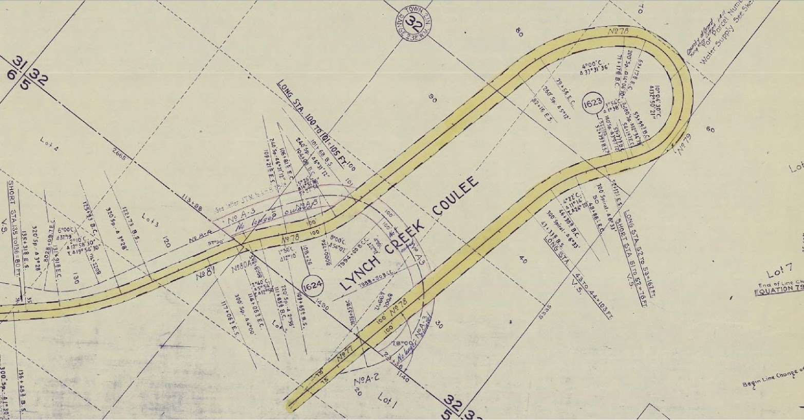
The Great Northern chose to descend to water level where Crater Coulee ran downgrade into Lynch Coulee. Because the two connected at a cliff over 100 feet tall, the railroad turned east at the cliff and ran along the southern edge of Lynch Coulee for almost a mile, then crossed the coulee on a huge wooden horseshoe trestle, reversing direction to the south, slowly proceeding downgrade for several miles until reaching the Columbia River, then running on the east side of the river several more miles before crossing near Rock Island, Washington. The passing siding on the gradient is called Trinidad, thus giving the name to Trinidad Hill.
 |
| This image shows the tracks skirting the edge of the huge cliff where Crater Coulee drains into Lynch Coulee, with the railroad tunnel (completed during the line relocation in 1940) in the upper left. All of this was sculpted by floodwaters during the last Ice Age. |
Construction on Trinidad Hill was completed in 1892, and the last spike on the Great Northern line to Seattle was driven on the western slope of the Cascade Mountains in January, 1893. Railroad cars were ferried across the Columbia near Rock Island until 1893 when a bridge was completed. In 1925, the original bridge was modified by a steel reinforcing structure that remains to this day.
Where the river turns east, the tracks begin their march out of the gorge, climbing over 400 feet to reach Trinidad Siding at the mouth of Lynch Coulee. The ruling grade is one percent.
Past Trinidad, the tracks follow the winding northern edge of the coulee until reaching Trinidad Loop, one of the more amazing locations in North American railroading. The original wooden trestle was replaced during line relocation in 1940 with a crushed basalt fill about one mile further east up the coulee.
The curvature of the new loop is ten degrees; all trains are restricted to 25 miles per hour. From Trinidad Siding to the top of the hill, this giant horseshoe elevates trains 500 feet in slightly over four miles. The "straight line" distance from the siding to the top is less than a mile.
When the line was relocated, a tunnel was drilled at the summit to avoid another sharp curve, positioning the tracks back to the east where they run along the edge of the huge depression that gives Crater Coulee its name.
The roadbed of the original gradient is still plainly visible. Large portions of it can be driven in a four-wheel-drive vehicle, proving excellent photographic locations.
 |
| Abandoned roadbed on west side of Lynch Coulee. |
 |
| Line relocation at top of Trinidad Hill. |
Following are images your author has taken at Trinidad Hill, starting in the Columbia River Gorge and proceeding out of the valley up the hill to the tunnel and beyond.
The River Bottom
 |
| At sunset, an eastbound manifest approaches the Rock Island Dam. |
 |
| A long train passes the Rock Island Dam. |
 |
| DPU on eastbound stacks. |
 |
| Eastbound trailers beneath towering basalt. |
 |
| Westbound. |
 |
| Westbound stacks have come down off the hill and are rolling past one of the many vineyards in the Columbia River Gorge. |
 |
| Same location from across the river. |
Trinidad Siding to the Horseshoe
 |
Eastbound coal has left the Columbia River Gorge and is climbing to Trinidad Siding.
|
 |
| Eastbound stacks approaching Trinidad Siding, passing one of many apple orchards irrigated by water from the river. |
 |
| Trinidad Siding. |
 |
| Climbing up the north slope of Lynch Coulee. |
 |
| This is the Spud Local, which runs almost every day from the BNSF yard at Wenatchee up the hill to switch the agricultural plants at Quincy. Here the train is returning downgrade toward the river. The tracks beyond the horseshoe are visible above the train. |
 |
| Approaching Trinidad Loop from the north side of Lynch Coulee. The upgrade tracks on the south side are visible in the left center. |
 |
| Eastbound oil. |
 |
| Westbound downgrade. Rear of train is in the loop. |
 |
| Light engines from Spud Local returning downgrade to Wenatchee. |
Trinidad Loop
 |
| Eastbound stacks climbing upgrade through Trinidad Loop. |
 |
| DPU of same train -- the BNSF heritage unit. |
 |
| Heritage unit is now through the loop. |
 |
| Stacks in the middle of the loop. |
 |
| Light engines in the loop. |
 |
| A westbound Z approaches the Loop. |
 |
| Motive power of same train is on the basalt fill, beginning the 180 degrees turn. |
 |
| Same train around the loop. |
To the Tunnel
 |
| Empty coal. |
 |
| DPU's. |
 |
| One load downgrade. |
 |
| Westbound manifest. The house and apple orchard sit on the plateau above Lynch Coulee. |
 |
| Eastbound Z approaching the tunnel. |
 |
| Oil cans near sundown. |
 |
| The tunnel is in sight. |
 |
| Image taken from atop the tunnel. |
 |
| This westbound has just exited the tunnel. |
The Tunnel
 |
| Westbound. |
 |
| Eastbound. |
 |
| Westbound stacks preparing to enter tunnel. |
 |
| Rear of same train. |
 |
| Eastbound oil train exiting tunnel. |
 |
| Approaching the tunnel, westbound autos are running above the basin marking the transition from Crater Coulee to Lynch Coulee. Beneath the rear of the train, notice water cascading down the cliff, absorbed into the basalt before reaching the pool below. |
Beyond this crater, the tracks follow the coulee southeast to the top of the plateau, where they turn due east and follow Washington Highway 28 into Quincy. From there they cross the Columbia River Flood Basalt Province all the way to Spokane. This land is scoured by multiple coulees and lakes, the remnants of the last Ice Age Floods. In the next article, your author will discuss the location where the BNSF line from Spokane to Pasco, Washington, crosses one of those impediments -- Providence Hill.
To see my other posts, go to waltersrail.com.


Beautifully done, thank you for sharing. Guy Baxter.
ReplyDelete